Visit us at the Great American Electric Air Race - October 15-17 - Click here for more information!
>

Airspace Visualization in a New Dimension

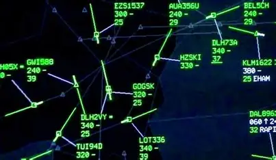
IntuiScan ATC provides real-time conversion of conventional 2D feeds into dynamic 3D airspace environments, giving controllers and operators instant, intuitive awareness.

Our Mission: To enhance flight safety and efficiency with innovative visualization.

Event Spotlight

Come visit our table at NAAMCE Aviation Weekend

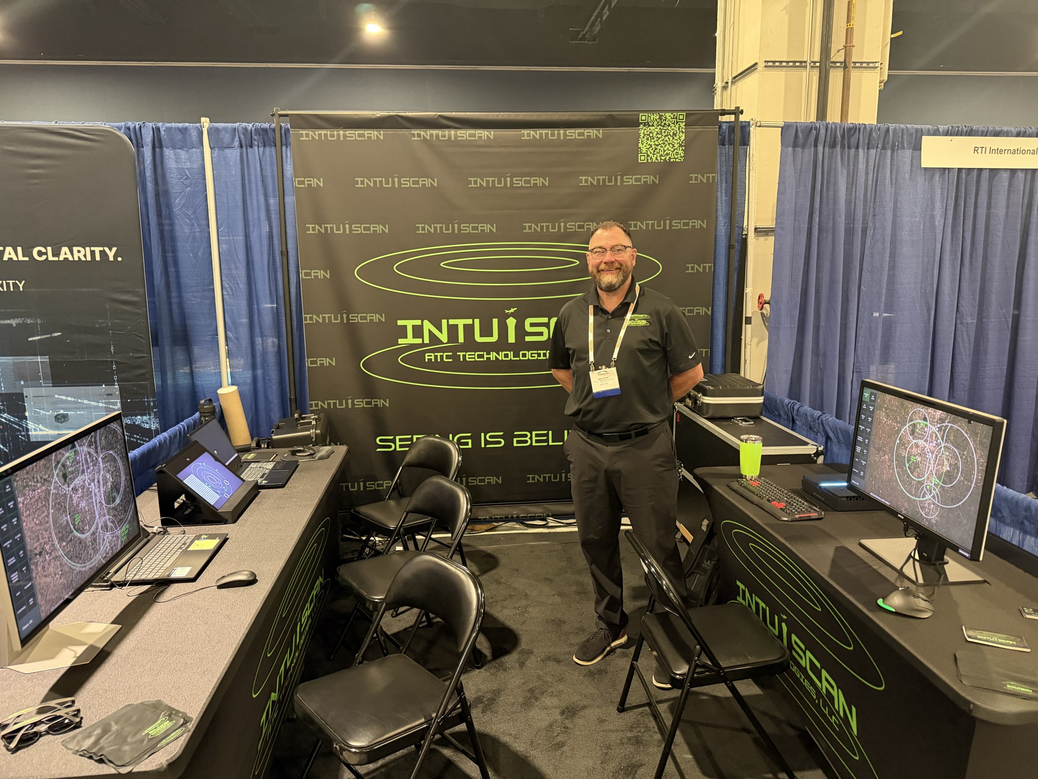
Join us at the National Advanced Air Mobility Center of Excellence in Springfield, Ohio on October 15th and 17th. We will be displaying our latest 3D Air Traffic Control System prototypes during the show. Our software makes vertical aircraft separation as intuitive as lateral separation by rendering three-dimensional airspace on auto-stereoscopic displays.

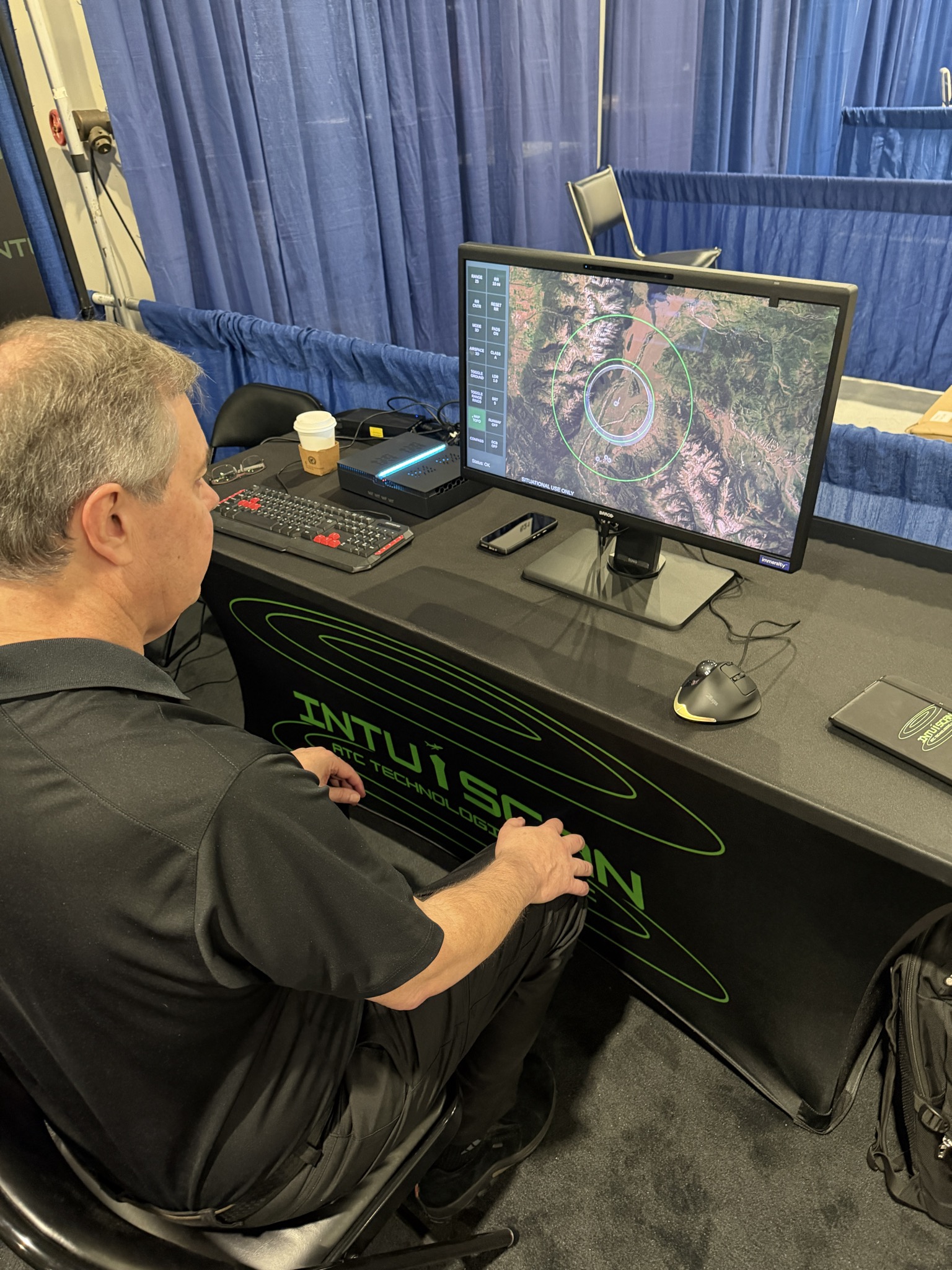
We will be showing our 3D airspace with live ADS-B data for multiple US airports. We are able to allow controllers to view the airspace either in legacy top-down two-dimensional views or rotate the airspace to view from any angle in stereo. Our prototypes can further augment traditional air traffic displays by overlaying the airspace on ArcGIS satellite imagery to see landmarks in real time. Finally, for low-altitude aircraft or airspace with geographical diversity, viewing the ArcGIS data with stereo cues allows controllers to see aircraft locations with respect to mountain peaks or other land-based obstructions.

During the show, we will be featuring this imagery on displays with Immersity technology. Specifically, we will be showing Barco’s Eonis 8-megapixel 27-inch auto-stereoscopic 3D display together with Samsung's Odyssey display.

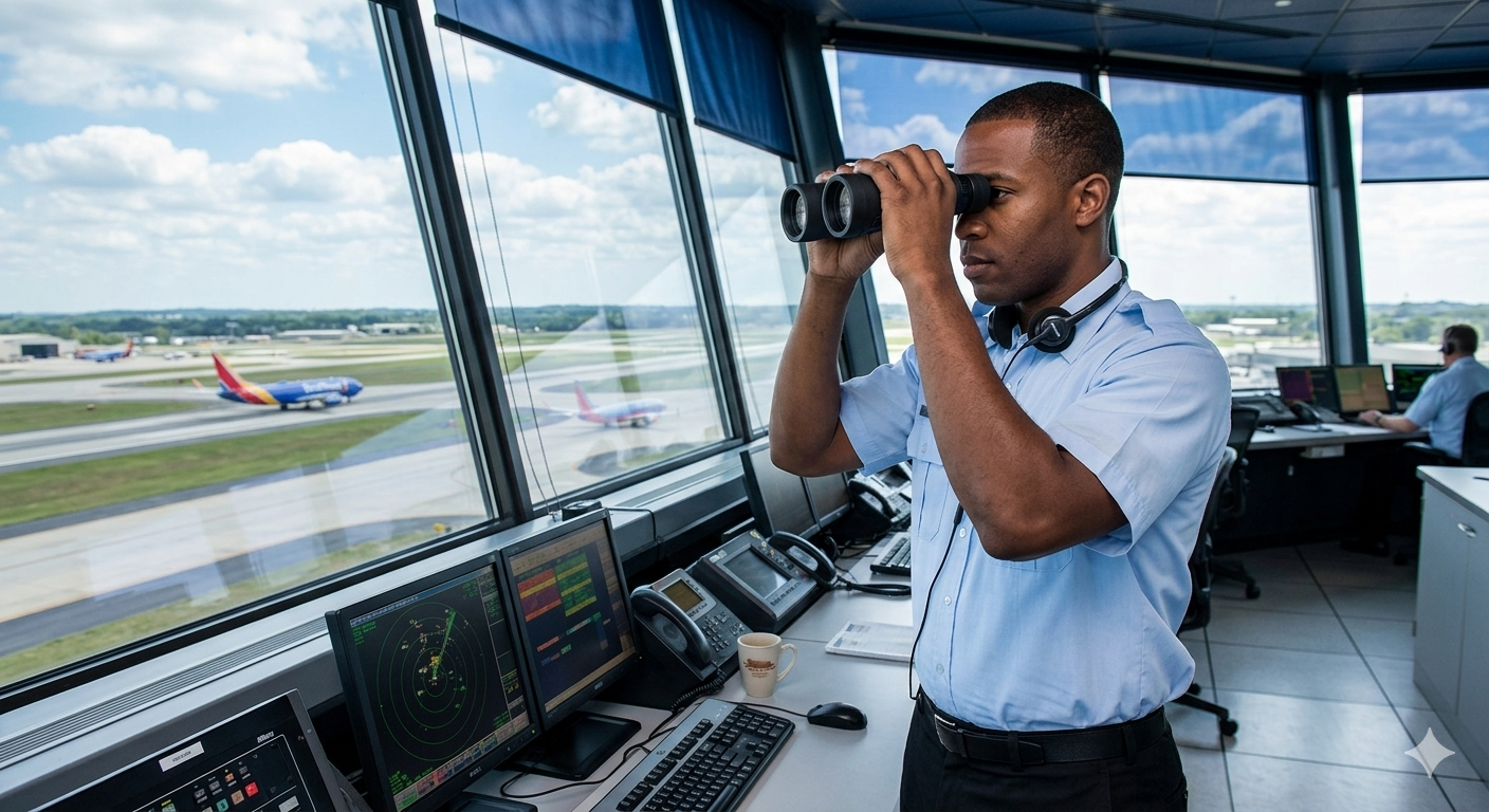
ATC Tower Sequence
➞

Enabled by
IntuiScanATC Technology

NEXT-GEN AIRSPACE VISUALIZATION

Transitioning from 2D Mental Model to Stereoscopic 3D Control

The Problem: 2D Manual Interpretation IntuiScan ATC's Solution: Stereoscopic 3D
  • Increasingly Congested: Complex 3D airspace environments.
  • 2D Limitations: Operators read text on flat displays to determine altitude.
  • Mental Modeling: Operators must manually combine data to "see" 3D separation.
  • Excessive Workload: High cognitive strain leads to rapid fatigue.
  • Degraded Safety: Limits aircraft flexibility and overall control effectiveness.
  • ✓ Automated Data Intake: System receives precise aircraft location and altitude instantly.
  • ✓ Disparity Rendering: Converts altitude into disparity values for stereoscopic image pairs.
  • ✓ Natural Perception: Displays images permitting direct perception of 3D separation.
  • ✓ Ground Reference: Includes a plane with range rings at 0 disparity for orientation.
  • ✓ Dynamic Scaling: Renders stereoscopic views to match real-world depth.

Projected Results & Impact

Enhanced Safety

Removes mental "translation" errors, ensuring clear separation awareness.

Operational Efficiency

Increases the number of controlled aircraft and airspace flexibility.

Operator Wellness

Significantly reduces cognitive fatigue by simplifying complex data visualization.

OUR PATENTED TECHNOLOGY

Intake. Integrate. Visualize.
Multi‑Source Fusion Graphic

Multi-Source Fusion

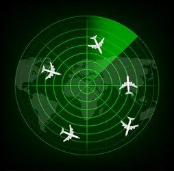
On-the-fly conversion of any geospatially-anchored data into dynamic 3D environments.
Dimensional Depth Visualization

Dimensional Depth

Multi-layered airspace visualization with accurate altitude representation.
Intuitive Interface Radar View

Intuitive Interface

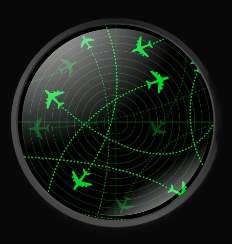
Natural depth perception reduces cognitive load and accelerates response.

DEMONSTRATED SYSTEM IMPROVEMENTS

Leveraging the brain's depth perception, our technology enhances situational awareness, accelerates decisions, reduces errors and redefines how you see the skies.

OPERATIONAL BENEFITS

No Glasses Icon

No 3D Glasses Required

Hover or tap to flip

We use auto-stereo displays to render true 3D visuals without special glasses.

🎓

Better Training Outcomes

Hover or tap to flip

3D sector views accelerate student understanding and situational awareness.

🔬

Backed by Research

Hover or tap to flip

Verified with real controllers, improving efficiency and safety metrics.

Learn More →

MEET OUR LEADERSHIP TEAM

CONTACT US

Whether you're managing civilian air traffic or coordinating complex operations, we can help you see —and act —in a whole new dimension.

Get in touch at contact@intuiscanatc.com

Send a Message